Himawari

Operatør: Japanske meteorologiske institut.
Lanceringsdato: 02/2005 (MTSAT-1R), 02/2006 (MTSAT-2)
Type af orbit: Geostationære
Position: 145°E
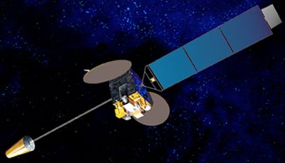
Instrument: radiometer
Radiometer scanner jordens overflade linje for linje; hver linje består af en serie individuelle billedelementer eller pixels. For hver pixel måler radiometeret den radiative energi for diverse spektrale bånd. Denne måling kodes digitalt og sendes til jordstation for forbehandling inden den udsendes til brugerne.
| Kanal | Bølgelængde (µm) |
| VIS | 0.55 - 0.80 |
| IR1 | 10.3 - 11.3 |
| IR2 | 11.5 - 12.5 |
| IR3 | 6.5 - 7.0 |
| IR4 | 3.5 - 4.0 |